Plan and find your way in stations with new, accessible Maps tools
Train stations are often busy, bustling places. Whether you’re reaching your final stop or catching a connection, finding your way through a complex or crowded station can be daunting. And for people traveling with wheelchairs, luggage, prams or crutches, there are even more factors to juggle.
In 2018, we brought wheelchair accessible routes to Sydney and other cities around the world. To build on this, we’ve been working with Transport for NSW to help people map out each stage of the journey inside the station.
To help people map out their journeys ahead of time, we’re launching indoor Street View imagery for 130 train stations and a dozen metro stations in Sydney. Starting today, you’ll be able to virtually navigate interactive, panoramic imagery inside Sydney stations, so you’ll know your way when you get there. You can also enjoy the rich history and beauty of many stations, from heritage listed St James Station, to the stunning views of Circular Quay and Milsons Point – and the thriving hub of Parramatta.
-
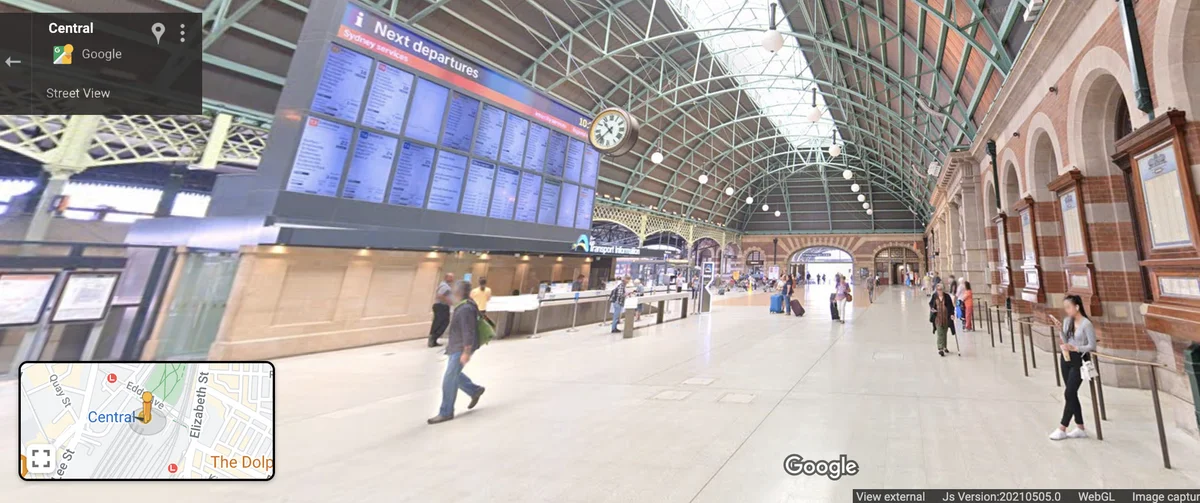
Street View imagery inside St James station, Sydney
-
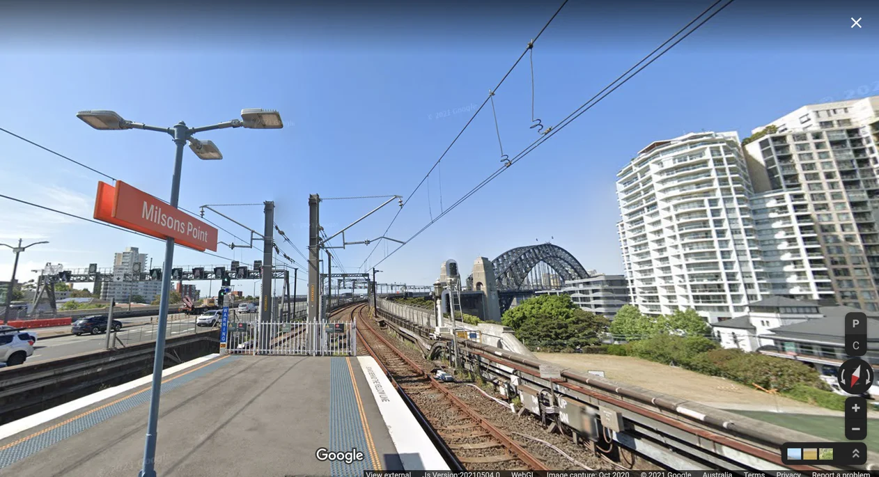
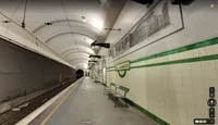
Street View imagery on the platform at Milsons Point station, Sydney
-
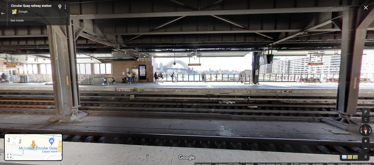
Street View imagery inside Circular Quay station, Sydney
-
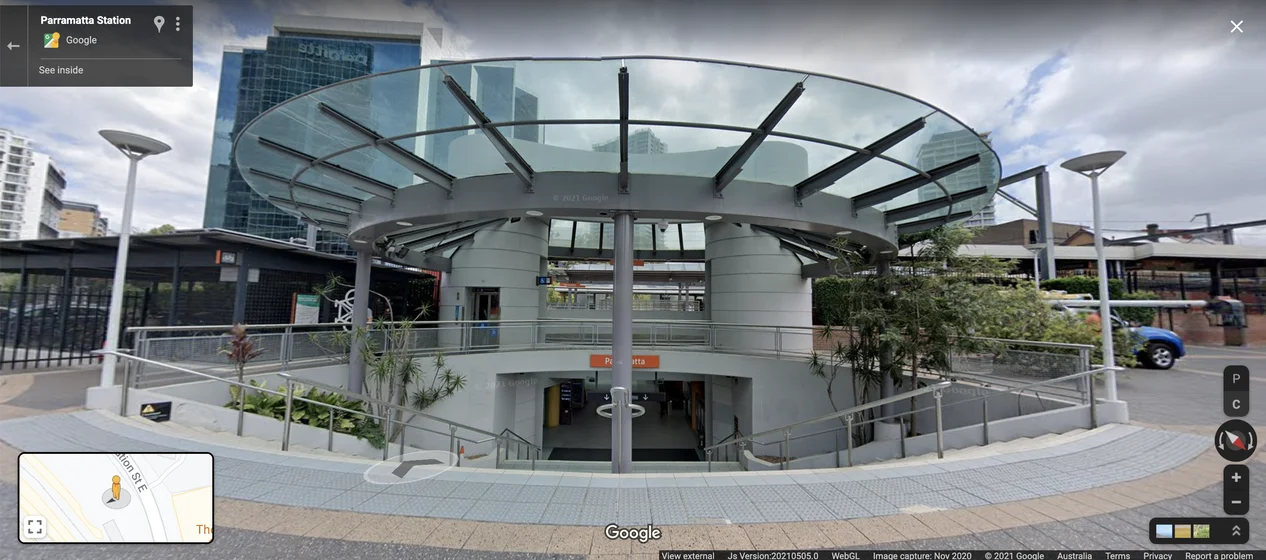
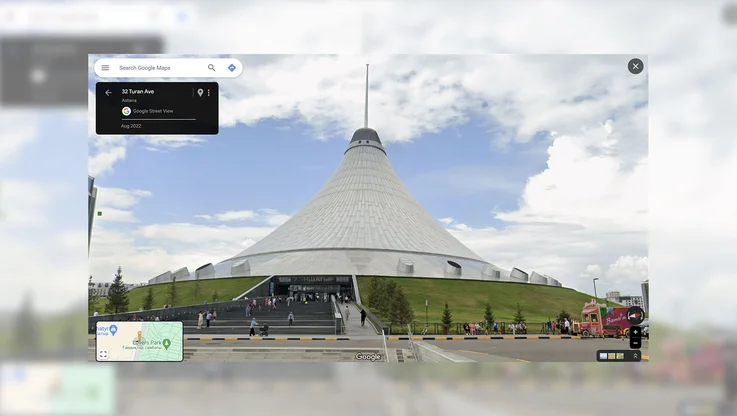
Street View imagery at the entrance of Parramatta train station, Sydney.
For the first time in Australia, we’re also bringing detailed navigation directions for accessible routes across 70 complex train and metro stations across Sydney to Google Maps. These tools allow people to find the best and most accessible entrances, exits, signage and paths within the station and better anticipate in-transit travel times along these pathways.
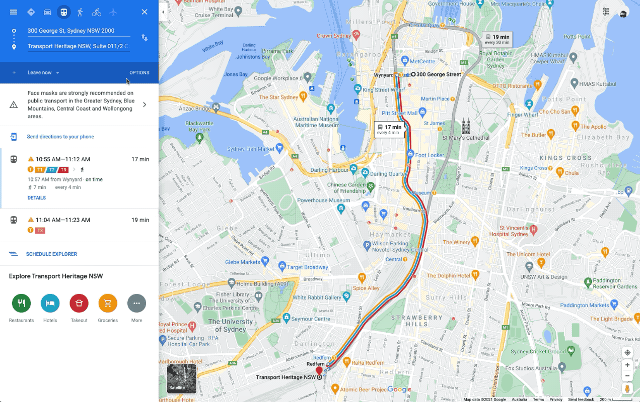
Accessible navigation directions on Google Maps on desktop
And as a world first, we’re sharing these navigation directions with Transport for NSW so it can be published to the NSW government’s Open Data Portal. This will allow the transport industry and app developers to access this valuable information and find more solutions to enable accessible transit travel in the future.
To find these accessible navigation directions for your route on desktop or mobile, type your destination into Google Maps. Tap “Directions”, then select the public transport icon and any route options (such as “wheelchair accessible”, “fewer transfers” and “less walking”). After you tap your chosen route, the detailed navigation instructions will be displayed if your route takes you through a complex station in Sydney.
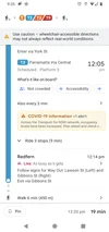
Accessible in-station directions in mobile view
Whether you are planning or navigating your commute, we hope these tools make Sydney stations feel a little more familiar – and help you commute with more confidence.