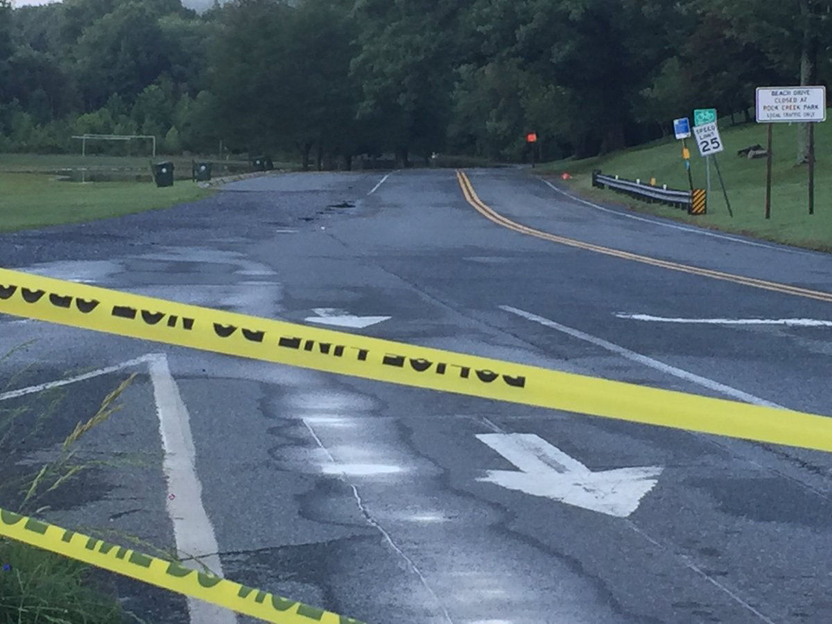

The southbound lanes are blocked by police near Shoreham Hill but traffic is still sneaking in from Waterside Drive (not advisable) pic.twitter.com/WYpfg02Pid
— Dave Dildine (@DildineWTOP) July 22, 2018
Rainfal total estimates within warned area approaching 4"-6", half of that within the past hour alone. FLASH flooding of streams and creeks (not to mention roads) is likely. Another 3" possible this evening in this area. TURNAROUNDDONTDROWN. #wtop #FairfaxCounty pic.twitter.com/nqGQRXXtXe
— Matt Ritter, Media Meteorologist: 7news-TNWD (@MetMattRitter) July 21, 2018
Clifton, VA @capitalweather pic.twitter.com/hw1WH1HBxu
— Nick Walker (@NickWal70943870) July 22, 2018
Downtown Clifton @capitalweather pic.twitter.com/9cZJNtU1BP
— Nick Walker (@NickWal70943870) July 22, 2018


WASHINGTON — National Weather Service forecasters are asking residents in the D.C. area to be vigilant as storms rumble through the area Sunday night.
The weather service issued a flash flood watch for the D.C. area until 5 a.m.
It also issued a flood warning for Maryland’s Frederick County until 11 p.m. and flood warnings for Anne Arundel, St. Mary’s, Calvert, Prince George’s and Charles counties until midnight.
A flash flood watch means that conditions might develop that lead to flash flooding. The weather service said the fact the ground in a lot of areas is already soaked and several streams and creeks are swollen from the rain on Saturday could lead to flash flooding.
Sunday started out nice with peeks of sunshine, what Storm Team 4 meteorologist Lauryn Ricketts said may be the only sliver of sunshine until later this week. Showers and storms started shortly before noon.
Storm Team 4’s Somara Theodore said that Sunday’s rain differs vastly from the Saturday’s batch of storms that brought record-breaking rainfall totals.
“The rain is not widespread and steady like yesterday,” said Theodore. “Areas already exacerbated by Saturday’s record-breaking rain could see more downpours.”
Theodore predicts most of the severe activity will stay east of Interstate 95 through the evening. Heavy showers will linger overnight and humid conditions will remain.
Saturday’s rain totals reached 4.6 inches in D.C., 6.5 inches in Montgomery County, 5.5 inches in Prince George’s County, 6.5 inches in Fairfax County and 5.5 inches in Prince William County, the National Weather Service reported.
Current conditions
Forecast
As for the week ahead, the stormy pattern may continue until Thursday, but even Friday has a slight chance of isolated activity, according to Theodore.
“We are stuck in this prolonged pattern as moisture will continue to feed right into the region from the south,” Storm Team 4 meteorologist Lauryn Ricketts said. “Any storms and rain showers will become more scattered in nature on Thursday as the pattern begins to break down.”
Until then, Ricketts said to expect rain chances daily.
- Monday: Cloudy with some showers and scattered storms. Highs in the low 80s.
- Tuesday: Gray with showers and storms. Highs in the mid 80s.
Traffic
Saturday’s rains caused multiple street closures, delays and water rescues due to flooding. Fire departments in Virginia and Maryland counties reported many motorists who had to be rescued when their vehicles got stranded on flooded streets.
The rain compounded delays on roads undergoing scheduled repairs and crashes were reported throughout Saturday, though by Sunday morning the roads were in slightly better shape.
Flooding conditions have suspended MTA service from Patapsco to Cromwell and BWI Thurgood Marshall Airport stations. Shuttle bus service will be available.
Get the latest traffic report at WTOP’s Traffic page.
Power outages
As of 4:00 p.m., more than 4,000 customers are without power in the D.C. area.
A bit more than 1,800 Dominion customers were without power in Northern Virginia, most of those were in Fairfax County.
In Maryland, more than 1,600 BGE customers were without power including 633 customers in Anne Arundel County.
Pepco customers haven’t seen many outages, there are less than 100 customers without power in the D.C. area.
Power companies have been working throughout the night to restore power to affected homes.