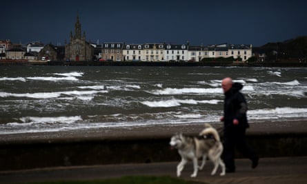
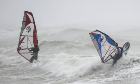
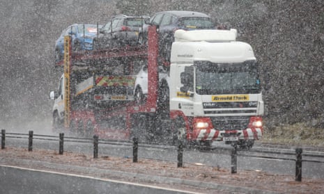
Severe gales and snow showers have caused travel disruption, school closures and power cuts as Storm Caroline reaches the UK.
The storm brings the threat of injury and even loss of life to northern parts of the UK, Met Office forecasters said. It is feared that winds of up to 90mph in northern Scotland could send debris flying, damage buildings and cause power cuts.
Severe gales in the region grew stronger on Thursday morning and forecasters put in place an amber “be prepared” warning – the second most severe – for areas north of a line from Aberdeen in the east to the Isle of Skye in the west.
Areas south of that line as far as the Borders, as well as the most northerly parts of Northern Ireland, had the less severe yellow warning of high winds for most of Thursday.
Flights and ferry services had been cancelled and dozens of schools were closed across the north of the country.
Rail passengers also faced disruption, with trains cancelled after a trampoline blew on to the line in East Renfrewshire and services suspended elsewhere.
About 2,000 Scottish and Southern Electricity Networks customers in the Western Isles and about 270 in Aberdeenshire had their power cut but it had since been reconnected.
A 73mph gust was recorded at Stornoway airport, while a 69mph gust was measured at Altnaharra in Sutherland, the Met Office said.

“Storm Caroline is well on its way across northern parts of the UK,” said the meteorologist John West. “There will be devastating winds in some parts. More broadly across Scotland, there will be 60-70mph gusts. But, in exposed areas, we could see 90mph.”
The Met office said buildings could be damaged in northern Scotland. Longer journey times and cancellations were likely on road, rail, air and ferry services.
Q&AHave you been affected by severe weather?
Show
If you have been affected by extreme weather you can tell us about it using our encrypted form, or by sending your pictures and videos to the
Guardian securely via WhatsApp by adding the contact +44(0)7867825056.
We will feature some of your contributions in our reporting.
Though we’d like to hear from you, your safety and security is
most important. When responding please make sure you
put your safety and the safety of others first. Extreme weather events
can be very unpredictable and carry very real risks.
“There is a good chance that power cuts may also occur. Large waves are expected and beach material may be thrown on to coastal roads, seafronts and properties.”
The amber warning was scheduled to run until 11.55pm. The yellow warning was due to expire at 6pm.
Less severe warnings of wind, snow and ice were in place for Friday and Saturday across northern and western parts of the UK, including all of Northern Ireland, most of Wales and Scotland and parts of England as far east as Sheffield.
Scotland’s transport minister, Humza Yousaf, said people should check with transport operators before they travelled, including Traffic Scotland, which would advise of any bridge restrictions for high-sided vehicles.
A North Sea platform shut down production because of safety concerns. CNR International said all 159 staff on Ninian South, about 240 miles off the Aberdeen coast, would be removed from the structure as a precaution.
A frontal system brought by Caroline meant a wet and windy start for the southern half of the UK, before cold temperatures were due to set in.

By the afternoon, a mixture of sleet and snow showers were expected to work their way across the whole of Britain.


