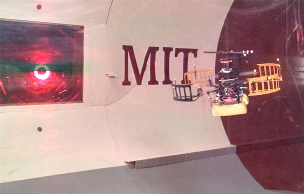
Personally, I don’t believe that urban delivery drones are a.) going to happen anytime soon or b.) even that good of an idea. One of the problems (among many, which I’ve discussed in previous posts) that urban drones have to deal with is efficiency: batteries count as payload, so if you want to fly farther, you’ll be carrying less of whatever your customers are paying for. Generally, quadrotor range is measured in minutes of flight time, which equates to a given distance at a given speed. Also generally, quadrotor range does not take into account the fact that the quadrotor is flying around outdoors, where wind can be a significant factor that either helps you out our ruins your day.
At MIT, John Ware and Professor Nicholas Roy have been working on ways of helping quadrotors leverage the wind fields created by structures in urban environments to improve their energy consumption. By modeling how wind blows around dense concentrations of buildings, quadrotors can plan intelligent trajectories to seek out tailwinds and avoid headwinds, boosting their efficiency and potentially leading to both higher speed and longer range.
Most of the work that’s been done on drones and wind focuses on the calm, happy sort of wind that makes golden fields of wheat gracefully sway back and forth as a puppy frolics through them. It’s much harder to deal with the complicated angry wind that you get when fast moving air tries to find its way through an obstacle course of urban buildings. You can’t use a simple model for this; you need something much more sophisticated: namely, a computational fluid dynamics (CFD) solver along with a 3D model of your urban area plus some weather data as an input.

With a wind field model like this, you can ask your quadrotor’s piloting software to compute a minimum energy trajectory between any two points. Depending on what the wind is doing, this may result in a path that’s not the shortest distance, which is what the quadrotor would be trying to do if the wind wasn’t a factor. But since the wind is a factor, the quadrotor will instead look for ways that it can minimize headwinds and maximize tailwinds, resulting in some common sense behaviors. In the example below, the planner that accounts for the wind has the quadrotor sheltering next to and downwind from structures, while the traditional direct route planner exposes the quadrotor to a strong headwind.

So how much of a difference does this make? At low wind speeds, not a lot, which is what you’d expect. At 5 m/s wind speed, for example, you might reduce energy consumption by a few percent. But as wind speed increases, the wind planner does better and better, especially over longer distances. With a wind speed of 10 m/s over five hundred meters, the paper claims that “the wind planner demonstrates a 39.4 percent reduction in total energy consumption while traveling 10.8 percent further with a 22 percent shorter flight time.” Whoa. This also means that using the wind planner can sometimes result in a successful trip, whereas a direct route planner could leave your quadrotor out of juice short of its goal.
At the moment, the input to the CFD solver is just one fixed altitude, meaning that the wind planner isn’t taking into account the full three-dimensional space that it’s navigating through. Obviously, there’s a huge amount of potential for a planner that can leverage a model of different speeds (and directions) at different altitudes and modify its plan to match. But even without that, it seems like autonomous urban drones would be silly not to take advantage of the wind, since it could make the difference between a drone reaching its destination in a timely manner and a delivery fail. And just like that, we’re back to the age of sail.
“An Analysis of Wind Field Estimation and Exploitation for Quadrotor Flight in the Urban Canopy Layer,” by John Ware and Nicholas Roy from MIT, was presented last month at ICRA 2016 in Stockholm, Sweden.
[ MIT RRG ]
Evan Ackerman is a senior editor at IEEE Spectrum. Since 2007, he has written over 6,000 articles on robotics and technology. He has a degree in Martian geology and is excellent at playing bagpipes.


