Community Corner
Update: Tarrytown, Sleepy Hollow Could Be Facing a Major Snow, Ice Storm This Weekend
This storm could be a major ice event, according to the National Weather Service's latest update.

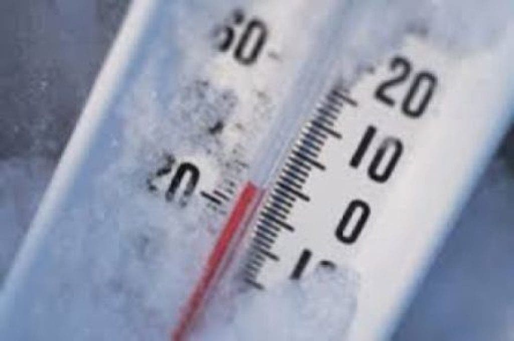

Updated at 5:13 p.m. on Wednesday, Jan. 21, 2015: The National Weather Service has revised its forecast from this morning, and it’s definitely not good news for Tarrytown and Sleepy Hollow residents.
According to the latest National Weather Service update issued Wednesday afternoon, a coastal storm Saturday and Saturday night could result in either a significant snowfall across the Hudson Valley, or significant icing across the region.
And here’s the kicker, there remains a high level of uncertainty with regards to the track of the low and this will greatly impact the type and amount of precipitation.
Find out what's happening in Tarrytown-Sleepy Hollowwith free, real-time updates from Patch.
The National Weather Service says snow could start after 3 a.m. Saturday morning, and then rain, snow, and ice will fall throughout Saturday and into Saturday night. Snow could accumulate up to 3 inches along with an ice accumulation. The likelihood of the precipitation is at 70 percent currently.
Snow is expected to end around midnight.
Find out what's happening in Tarrytown-Sleepy Hollowwith free, real-time updates from Patch.
Original story: Written by Ryan Bonner (Patch National Staff)
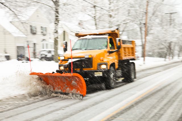
Forecasters are keeping a close eye on a potential weekend nor’easter that could dump more than a half-foot of snow on Westchester and the Hudson Valley.
The National Weather Service issued a hazardous weather outlook for the entire region early Wednesday.
“Unlike many storms this winter, this particular one has the potential to bring a foot of snow to some locations, where rain fails to mix in,” according to AccuWeather.com Chief Meteorologist Elliot Abrams.
However, the exact strength of the storm is unknown, due in part to the final track it will take.
“There is uncertainty and the precipitation in terms of amount and type will be highly dependent on the strength and exact track of the low [pressure system],” the NWS said in the hazardous weather outlook.
The current forecast calls for increasing chances of snow across the entire region going into Saturday and continuing into Saturday evening before tapering off late at night. The nor’easter could result in snow accumulations ”in excess of 6 inches,” the NWS says.
Before the potential winter whopper, the Hudson Valley will likely get a small taste of snow on Wednesday night, with up to a 70 percent chance of precipitation, the NWS says.
The latest NWS forecast for lower Westchester County:
- Wednesday Night: Light snow likely, mainly before 1am. Cloudy, with a low around 24. Wind chill values between 15 and 20. North wind 6 to 8 mph. Chance of precipitation is 60%. New snow accumulation of less than one inch possible.
- Thursday: Partly sunny, with a high near 37. Wind chill values between 15 and 25. Northwest wind around 7 mph.
- Thursday Night: Mostly clear, with a low around 20. Wind chill values between 10 and 15. Northwest wind 8 to 10 mph.
- Friday: Sunny, with a high near 32. Northwest wind around 8 mph becoming west in the afternoon.
- Friday Night: A chance of snow after midnight. Increasing clouds, with a low around 27. Chance of precipitation is 30%.
- Saturday: Snow likely, mainly after noon. Cloudy, with a high near 33. Chance of precipitation is 60%.
- Saturday Night: A chance of snow. Mostly cloudy, with a low around 29. Chance of precipitation is 50%.
- Sunday: Mostly sunny, with a high near 35.
- Sunday Night: Mostly cloudy, with a low around 21.
- Monday: A chance of snow. Mostly cloudy, with a high near 32. Chance of precipitation is 30%.
- Monday Night: A chance of snow. Mostly cloudy, with a low around 20. Chance of precipitation is 40%.
Patch Editor Alfred Branch contributed to this report.
Map via AccuWeather.com
Subscribe to a free email newsletter and news alerts:
BEDFORD-KATONAH • BRONXVILLE-EASTCHESTER-TUCKAHOE • CHAPPAQUA-MOUNT KISCO • HARRISON • LARCHMONT-MAMARONECK • NANUET • NEW CITY • NEW ROCHELLE • NYACK-PIERMONT • OSSINING-CROTON • PEARL RIVER • PEEKSKILL-CORTLANDT • PELHAM • PORT CHESTER • PLEASANTVILLE-BRIARCLIFF • RIVERTOWNS •RYE • SCARSDALE • SOUTHEST-BREWSTER • TARRYTOWN-SLEEPY HOLLOW • WHITE PLAINS • YORKTOWN-SOMERS
Get more local news delivered straight to your inbox. Sign up for free Patch newsletters and alerts.