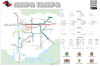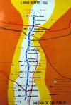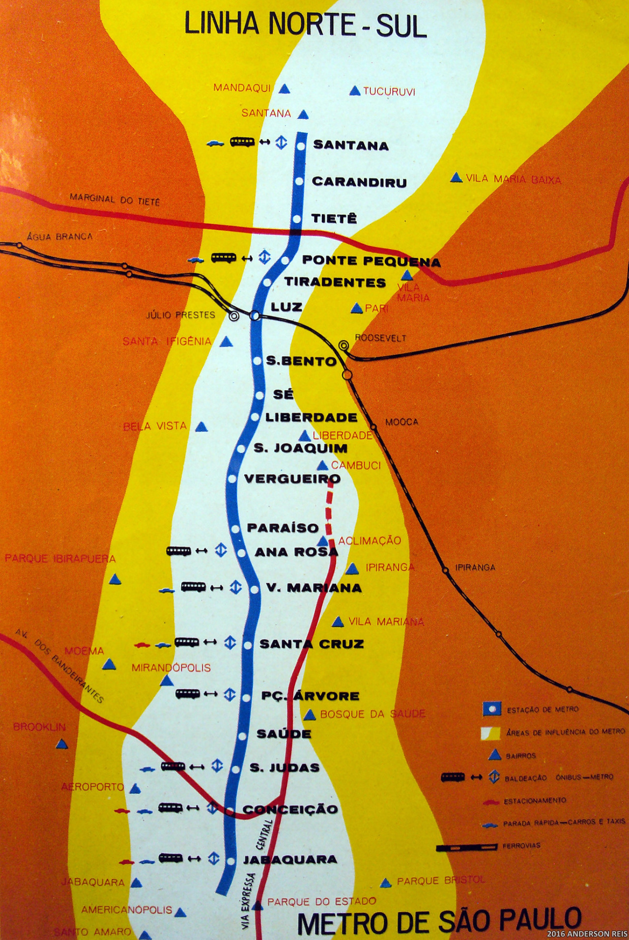
Historical Map: Metro de São Paulo Linha Norte-Sul, c. 1973
Before it became Linha 1, the São Paulo Metro’s first line was simply called the North-South Line after its general alignment. Although the photographer on Flickr dates it to 1973 (the year before opening), the map actually seems to show the route built out to its 1978 extent, just before the opening of the Red Line 2 in 1979.
The line extends as far north as Santana (opened 1975), and the 1978 fill-in station at Sé (now the busiest station in the network) is also shown. This may be because this is some sort of planning or projected future map: the eye-poppingly bright “Metro area of influence” zones seem to support this, looking much like walksheds on modern transit planning maps. The map also shows bus ans taxi interchanges, main railroad lines, highways and the very approximate locations of neighbourhoods near the alignment.
See also: The modern São Paulo Metro map (Jan 2012, 2.5 stars)
Source: Anderson Reis/Flickr
Related Posts