Poets and songwriters sometimes pledge to move mountains for their beloved to prove their devotion. If any of them also farmed California’s San Joaquin Valley, they may have actually followed through on their promise. What’s more, they may have helped affect earthquakes along the San Andreas Fault while they were at it.
The dry but agriculturally productive San Joaquin Valley is a poster child for groundwater depletion. As groundwater levels have dropped, so has the ground surface. Groundwater between grains of sediment actually provides pressure that counteracts some of the overlying weight. Remove the water, and the sediment will compact, lowering the elevation of the surface. Between 1926 and 1970, the land surface in the valley subsided by as much as 30 feet.
But that’s not the only impact of drawing down groundwater levels. A new study led by Western Washington University’s Colin Amos focuses on the solid rock beneath all that sediment to see how it is responding to being relieved of the burden of that huge weight of water.
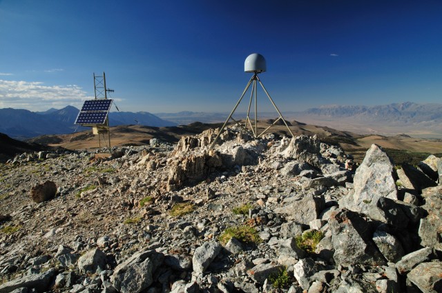
The study relies on GPS stations around the valley—not sitting on the subsiding valley floor. By being firmly bolted into rock and carefully tracking the GPS satellite signals, these GPS stations can detect minute movements of the Earth’s crust. These systems are often used to measure the horizontal movement of tectonic plates—a phenomenon of particular interest along the plate boundary that is the San Andreas Fault—but they can also measure vertical changes. This latter measurement is trickier to do, but the researchers are confident that they can detect vertical motion of just a millimeter per year.
The Earth’s crust seems awfully solid and permanent to us, but it’s basically floating on top of the denser rocks of the mantle. Just as placing a small rock on a floating sponge will cause it to sit a little lower in the water, a large enough mass (like an ice sheet, for example) can depress the Earth’s crust. Remove a large weight by, say, depleting 160 cubic kilometers of groundwater over a century and a half, and the crust could pop up.
The vertical trends measured at over 500 GPS stations in the region around the San Joaquin Valley varied from place to place (complicated by active faults and other factors) but generally showed that the surface right around the valley is rising by 1-3 millimeters per year.
To see if those results could be due to groundwater depletion, the researchers used a simple computer model that simulated the way the crust would pop up in this situation. They let the model try different rates of groundwater removal until the pattern of simulated uplift matched the GPS measurements. They compared that result to an estimate of the actual rate of groundwater loss made using the GRACE satellites, which uses subtle variations in Earth’s gravitational pull on the satellites to detect changes in groundwater or ice sheets. The two numbers were within 20 percent of each other—a pretty good match for a simplified approximation.
But the uplift is not steady—it’s greatest in the late summer and fall. That’s the time of year that the amount of snow and surface water in higher elevation areas is smallest, but it’s also around the time that groundwater use in the valley is highest.
There’s also a seasonal pattern in the number of small earthquakes that occur along the San Andreas Fault in that area, which similarly peaks in the late summer and fall. This pattern has been thought to relate to seasonal changes in surface and groundwater along the fault itself, but the researchers wanted to investigate whether the measured uplift could play a role.
Returning to their model, the researchers simulated the seasonal variation of water levels in and around the valley and looked at the effect that the simulation had on the long-term uplift due to groundwater depletion. You can think of the uplift as a sort of bulge where the crust is flexing upward. That motion acts to slightly “pull apart” the San Andreas Fault, which runs roughly parallel to the western edge of the valley, a bit like pushing upward at the center of a phone book brings the edges inwards.
Seismologists call this easing of the compression between the two sides of a fault “unclamping." Since earthquakes occur when the force of the two sides trying to move past each overcomes the friction keeping them from doing so, unclamping lowers the threshold for the slipping of an earthquake.
In the model, the seasonal variation in uplift caused enough unclamping of the San Andreas Fault in the late summer and fall that we would expect more earthquakes to occur. But beyond that seasonal cycle, the gradual uplift over time due to groundwater depletion is also progressively unclamping the fault more generally. The researchers write, “These results suggest that human activity may give rise to a gradual increase in the rate of earthquake occurrence, as suggested by earthquake [records] in central California.”
The groundwater lost from the San Joaquin Valley isn’t just an issue of agricultural sustainability. While the valley floor is sinking, the Earth’s crust is actually rising—including, it seems, in the Sierra Nevada mountains to the east. The groundwater loss is even affecting earthquakes on the San Andreas fault. You would have had a hard time convincing San Joaquin Valley farmers over a hundred years ago that these things would happen, but sometimes we can discover results that we would never have expected to be possible.
Nature, 2014. DOI: 10.1038/nature13275 (About DOIs).
Reader Comments (75)
View comments on forumLoading comments...