transitmaps:
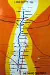
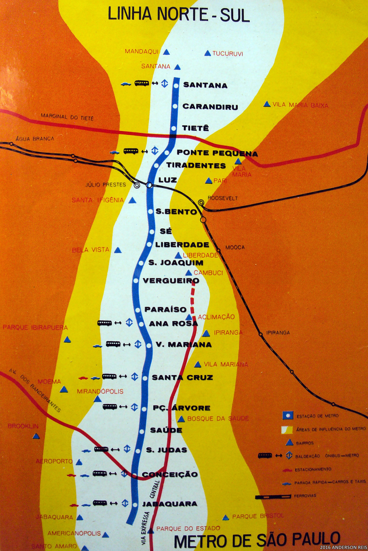
“ Historical Map: Metro de São Paulo Linha Norte-Sul, c. 1973
Before it became Linha 1, the São Paulo Metro’s first line was simply called the North-South Line after its general alignment. Although the photographer on Flickr dates it to...

transitmaps:

Historical Map: Metro de São Paulo Linha Norte-Sul, c. 1973

Before it became Linha 1, the São Paulo Metro’s first line was simply called the North-South Line after its general alignment. Although the photographer on Flickr dates it to 1973 (the year before opening), the map actually seems to show the route built out to its 1978 extent, just before the opening of the Red Line 2 in 1979. 

The line extends as far north as Santana (opened 1975), and the 1978 fill-in station at Sé (now the busiest station in the network) is also shown. This may be because this is some sort of planning or projected future map: the eye-poppingly bright “Metro area of influence” zones seem to support this, looking much like walksheds on modern transit planning maps. The map also shows bus ans taxi interchanges, main railroad lines, highways and the very approximate locations of neighbourhoods near the alignment.

See also: The modern São Paulo Metro map (Jan 2012, 2.5 stars)

Source: Anderson Reis/Flickr

Related Posts

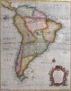
South America, 1700.More historical maps of South America >>South America, 1744
More historical maps of South America >>sciencefriday:
“ What’s it like to read a map from a glance? On the left, you’ll see regular transit maps; on the right, what they look like in your peripheral vision. Which city is easiest to read at a glance?
These trippy transit maps were created...White South Americans, 2019.
The vast majority of Europeans immigrated to the southern cone to Southern Brazil, Argentina, Chile and Uruguay. Today the southern cone is the hub of south America’s economy and includes cities such as Sao Paulo, Buenos...São Paulo’s transit: the largest in South America and in the Southern Hemisphere.Old map of South America.
More historical maps of South America >>transitmaps:
“Submission – VitruviuS-Bahn by Arne Nys
Submitted by bjorkborg, who says:
It suddenly appeared to me that the Berlin S-Bahn system had the form of Da Vinci’s Man of Vitruvius: a circle (Ringbahn), two arms (Stadtbahn) and a head + legs...Sao Paulo density visualized.
by @brasilemmapas1980 Moscow Metro diagram.
[[MORE]]by schreibstang
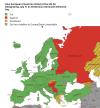
“Transit maps are also diagrams. This is a very diagrammatic map of the Moscow Metro. A true work of art, and at the same time, completely useful. The only problem is it was printed pretty cheaply,...Not sure why it was taken down, but: How European Countries Voted at the UN for Designating July 11 as Srebrenica Genocide Memorial Day
Comments powered by Disqus
  1. grubstaking reblogged this from transitmaps
  2. docsauvage reblogged this from mapsontheweb
  3. dgztrcdvd reblogged this from youwillhaveaboytonight
  4. aos-que-ainda reblogged this from nonstopultimate
  5. sirene-petite reblogged this from mapsontheweb
  6. acstuffposts reblogged this from mapsontheweb
  7. mad-bi-design reblogged this from mapsontheweb
  8. onissassa reblogged this from mapsontheweb
  9. trapobana reblogged this from mapsontheweb
  10. darchimagery reblogged this from mapsontheweb
  11. zapatosdearena reblogged this from mapsontheweb
  12. transitmaps posted this