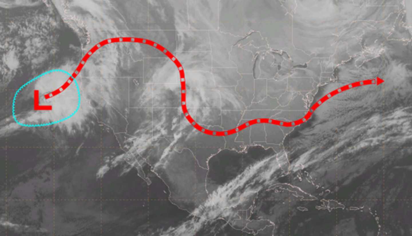

According to Scott Pecoriello, founder of weatheroptics.net, three weather elements appear likely to merge, resulting in a slow, long-lasting snow event that could linger from Friday through Sunday, according to weatheroptics.net.
The storm could strike from Washington, D.C., north toward Boston, affecting 50 million people, according to Accuweather.com.
Most models are in agreement that between 8-15 inches of snowfall accumulation are possible in the area.
"If the storm develops to its full potential and takes a track just off the mid-Atlantic and New England coasts, then a blizzard can unfold," AccuWeather said. "The storm could shut down highways and perhaps cause airports to close."
The National Weather Service issued a Hazardous Weather Outlook on Monday warning of the possibility of a major storm.
The weather service's current forecast predicts any snow would start after 1 a.m. Saturday with the chance of snow at 60 percent for Saturday.
There are still many possible changes in the track of the storm that could result in changes to the early projections.
Check back to Daily Voice for updates this week.
Click here to follow Daily Voice Tarrytown-SleepyHollow and receive free news updates.